
The Weather Network has issued a three-day snowfall risk for Cochrane.
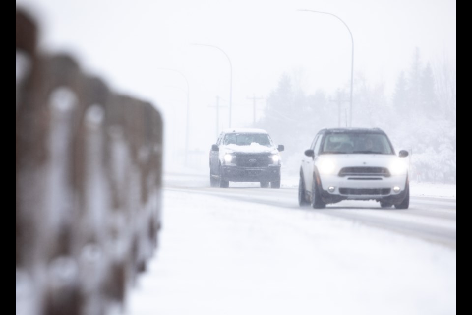
Some residents may have been a little surprised to wake up to a skiff of snow on the roads this morning, April 12, for their commute into work.
Less than a centimetre of snow has fallen so far, and according to forecasts by The Weather Network, snow is expected to cease within the next hour. Today's forecasted low is -10 C.
Snow will pick up again tomorrow, April 13, around 12 a.m., and is expected to last throughout the day. Less than a centimetre is expected to fall with a forecasted low of -8 C.
Similar conditions will persist throughout Thursday.
"We're under the influence of a ridge of high pressure over the province today," said Jesse Wagar, meteorologist with Environment and Climate Change Canada.
"What that's doing — at least this morning — was sort of trapping light flurries, against the foothills and mountain parks on the eastern side of that."
The snowfall risk arrives around the same time that parts of southeastern Saskatchewan and southern Manitoba are expected to be hit by a major spring blizzard, according to Environment Canada.
Cochrane's forecast tomorrow, Wagar said, is a result of that same "very large Colorado Low system" that's affecting eastern parts of the prairies.
"There is some remnant snow that's sort of hanging back on the western edge of that system," she said. "It's likely to clip the Cochrane area but we are not expecting any significant amounts."
Weyburn and Estevan, Sask., on the other hand, could see between 30 to 35 centimetres of snow by Thursday morning.
In the higher terrain of western Manitoba and the western Red River Valley, snowfall totals could reach 80 centimetres.
"This storm has been described as historic," said Natalie Hasell, Environment Canada meteorologist in a technical briefing delivered earlier today.
Cochranites will get a break from the snow on Friday, but there is a risk of wet flurries on Saturday, with between two to four centimetres expected to fall under a forecasted high of 4 C and a low of -5 C.
"This is a separate weather system," said Wagar. "That big system that's off to the east is its own beast.
"There is some lingering flurries that are sort of wrapping around it because it is such a huge system. Any flurries that are sort of in the area of Cochrane is almost an offshoot of this low pressure system."
A few flurries will persist into Sunday, April 17, but Wagar said there will be a big push of warming air starting early next week.
While temperatures are expected to dip below zero over the next few days, Wagar encouraged drivers to carry an emergency kit in their vehicles, including things like a blanket, candle and winter gear.


